Floodwater flowing through northern Utah should likely end up in the same place — the state’s most recognizable landmark.
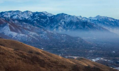
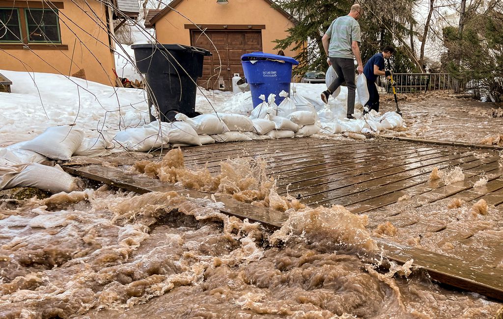
All along the Wasatch, snowmelt is flowing into creeks, reservoirs and — unfortunately — into some neighborhoods. The colder spell in recent days has slowed the runoff, but warmer temperatures are on the horizon and more water could come streaming into places it shouldn’t.
But the bulk of the water pouring through places like Emigration Canyon or a neighborhood in Kaysville will end up in the same place: the Great Salt Lake.
Aside from water that will sink into the dirt and become groundwater or the water that is saved in reservoirs, the floodwater should make its way to existing rivers and streams, which in northern Utah, means the water will eventually flow into the lake, according to Michael Sanchez, a spokesperson for the Division of Water Resources within the Utah Department of Natural Resources.
Salt Lake County is a part of the Jordan River Watershed, which includes Utah Lake and Great Salt Lake. Water flowing through Salt Lake’s many creeks will likely end up in the Jordan River, which flows north and into Great Salt Lake, according to Salt Lake County’s website.
Rivers and creeks in Utah County take a slightly longer route, first emptying into Utah Lake before going into the Jordan.
“It would make sense that (flood) water would ultimately end in the Jordan River and Great Salt Lake,” Laura Briefer, Salt Lake City’s public utilities director, told The Salt Lake Tribune.
In Davis and Weber counties, the runoff also heads to Utah’s biggest lake.
Scott Paxman, general manager for the Weber Basin Water Conservancy District, explained that most of the floodwater will flow into nearby creeks and west toward the Great Salt Lake. The floodwater in Kaysville, for example, would flow into Bair Creek, which empties into the lake.
Weber County has two main waterways — the Ogden and Weber rivers. The Ogden is largely fed by the nearby Pineview Reservoir, but it picks up water as it heads west. The Weber starts in the Uintas and flows through Summit and Morgan counties before it joins the Ogden River to the west of Ogden.
If the water isn’t held back in the area’s many reservoirs — like Echo, Pineview and Causey — it would flow into the Great Salt Lake.
Like the Weber River Watershed, the Bear River Watershed — which includes the northernmost areas of Utah and extends into Idaho and Wyoming — also contributes to the terminal lake.
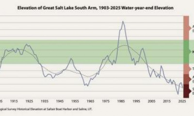
Sanchez points out that some reservoirs like Little Dell and Jordanelle weren’t around during the infamous floods of 1983 and can serve as crucial flood mitigation tools. But in 1983, Great Salt Lake’s levels had never been higher.
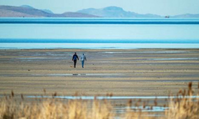
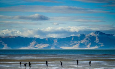
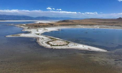
Nowadays, Great Salt Lake’s low level means the lake can take just about as much water as the record snowpack can dole out.