SALT LAKE CITY — Water supply in Utah's capital city is in a good place after a robust snowpack runoff that's all but over. As the irrigation season moves forward, Salt Lake City is turning to a new tool to help reduce overwatering in the summer.
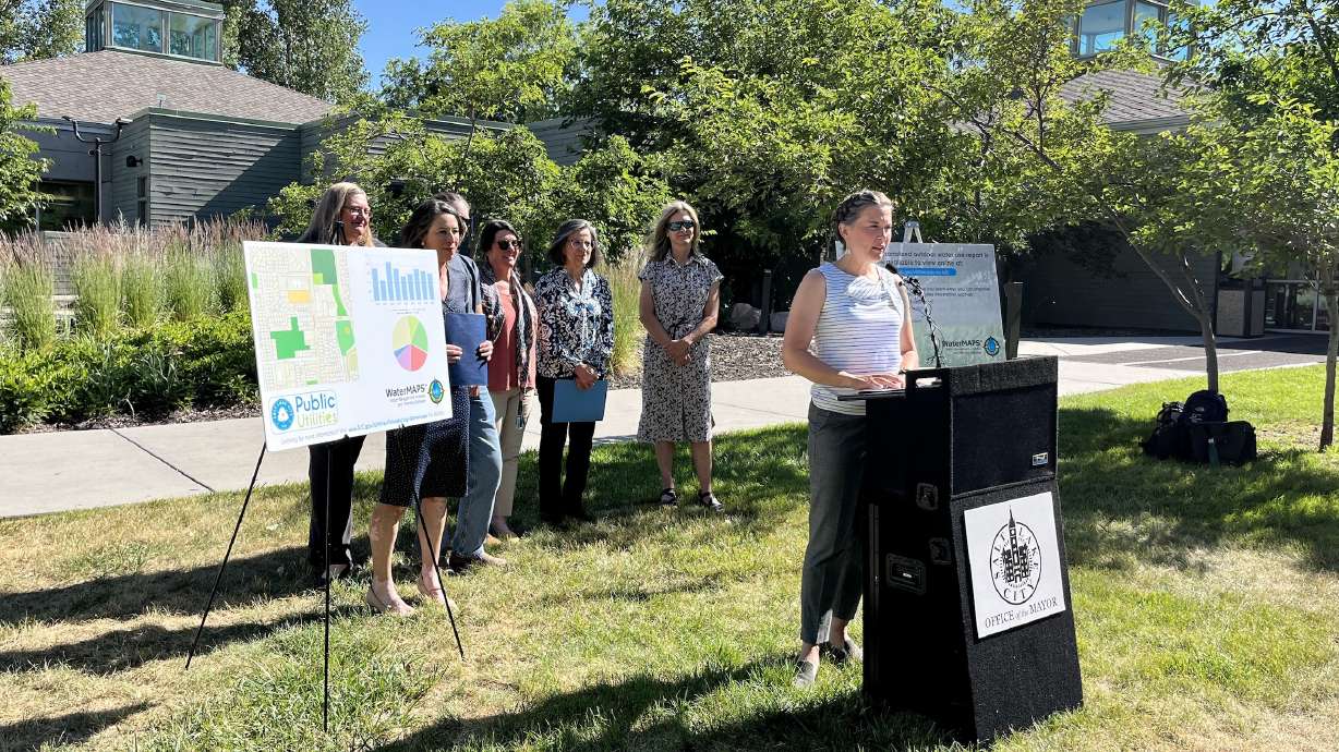
Salt Lake City officials announced a new pilot program with Utah State University on Monday, offering homeowners within the Salt Lake City water district free access to WaterMAPS data, a software program developed by the university, to help people be more efficient with their water use.
The online tool uses satellite imagery of outdoor vegetation, weather data and other information to build customized reports on how much water a homeowner needs to water their outdoor landscapes.
Salt Lake Public Utilities supplies water to the city, most of Cottonwood Heights, Holladay and Millcreek, as well as other portions of Salt Lake County. About 66,000 homes in the county also have access to individual reports from the last five years, which combine with WaterMAPS' suggested water use and a homeowner's historic water use data for a landscape irrigation ratio report that highlights irrigation efficiency from 2018 through 2022.
Homeowners can view their individual reports by logging onto the same website used to pay their water bills. These reports are only available to the homeowner, meaning others cannot look up the report of neighboring properties, said USU professor and WaterMAPS manager Joanna Endter-Wada.
"Essentially, this program gives each resident the ability to see how much water can be conserved on their individual landscape and it provides information on how best to conserve on that property," said Laura Briefer, director of Salt Lake City Public Utilities. "It provides data and information on a personal level and is very specific to each property to maximize the effectiveness of conservation."
How does it work?
While launched Monday, the city's partnership was several years in the making.
Endter-Wada said USU created WaterMAPS in coordination with Weber Basin Water Conservancy District, helping to improve secondary water usage throughout the district. Discussions with Salt Lake City began with an experiment in 2016, well before work began on a program to offer customizable reports.
It was amid one of the worst drought events in the state's history, which ultimately forced the city to enter the second phase of its water shortage plan the last two years — a first since 2004.
The city and USU conducted a series of modifications to fine-tune the program to read landscape types from publicly available satellite images, while also using focus groups to craft a report that homeowners can understand and implement in their watering schedules, said Salt Lake City water conservation manager Stephanie Duer.
"This was a software program that didn't exist before USU started working on it, so this has really been a labor of love," Duer told KSL.com.
What's available now is a landscape irrigation ratio report from 2018 to 2022 that offers insight into how much water an outdoor landscape may need. This is based on how much turfgrass, trees, shrubs, or any other types of vegetation, are visible from satellite images. Another report will be issued at the end of this season.
It focuses on an equation of outdoor water use divided by landscape water need, determined by the images and weather data pulled from six weather data collection sites across parks, golf courses and service facilities in Murray and near Cottonwood Heights, as well as Salt Lake City's East Bench, Glendale, Rose Park and Sugar House neighborhoods. Any number less than one is considered efficient, while anything above two is inefficient and anything above three is considered excessive.
The weather component is flexible, Endter-Wada says. When there's rain or cooler conditions in the area, less water is recommended. More water might be recommended when it's hotter and drier, though only as much water is needed based on the home's landscape type.
"We're pulling in all of this localized weather data on a daily basis, taking into account to estimate what the landscape needs, so it's personalized to the location and the person, but it's also very dynamic in trying to assess that landscape needs in relation to a changing weather pattern," Endter-Wada said. "Irrigation seasons vary over time and this helps us adjust to those conditions."
Homeowners are also given a report showing how much water can be saved by using only what a landscape needs. Although it's only available to homeowners, Duer said the city is working on similar analyses for commercial, government and institutional properties.
City officials said they would like to provide reports at least monthly sometime in the future.
While it's unclear how much water the program might save the city's system, Endter-Wada believes it can end up saving plenty, especially as more people participate.
"There is a lot of savings to be had that can be cumulative if everyone is just trying to bring their landscape ratio down," she said. "It is a tool that will help people that might not be in the position to transition their landscape to water as efficiently as they can with the landscape that they have."
Potential for long-term change
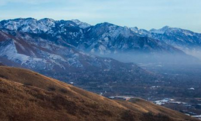
Of course, the drought situation in Utah and Salt Lake City has drastically improved because of the record snowpack in the state and across the region, which melted off in an efficient way.
Briefer said Monday that the city's water supply is "healthy" heading into the middle of meteorological summer, and the U.S. Drought Monitor lists all of Salt Lake County as drought-free, at the moment.
She and other city officials hope this year's water influx doesn't change how people water their lawns, as one memorable winter doesn't guarantee next year's snowpack will be as productive, or point to long-term success.
The department plans to push for more water conservation so the supply isn't squandered away, in case there's an even worse drought on the horizon.
This hasn't been an issue, so far.
Usage rates across the Salt Lake City water system are slightly above last year, but also about 5% below the average of the past three years, Duer says. She often fields calls from residents who want to know what they can do to save water, which is why she's excited about WaterMAPS.
"It's going to be immensely helpful," Duer said. "All of us can probably do a better job saving water. It may not be the same amount for us, but I think we can all help with this process."