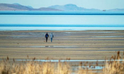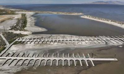
The overall snowpack level of 2022 so far is approaching that of the disappointing 2021 water year.
Professor Robert Davies of Utah State University doesn’t mince words when it comes to Utah’s weather and the unusual occurrence of the thermometer hitting 60 degrees on Valentine's Day.
“Overall, yes, winters in Utah are getting warmer,” Davies said.
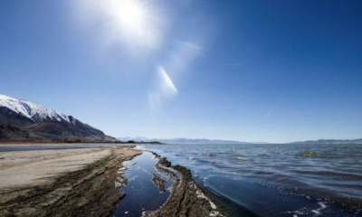
Davies works in the Plant, Soils and Climate program at USU. Utah’s warmer winters will impact our water supply even in years with a lot of precipitation, because more of it will fall as rain.
“The snowpack is definitely declining over the last 40 years, particularly in the lower and mid elevations,” he said.
Utah’s snowpack, as tracked by the Natural Resources Conservation Service, is well below the median in every basin in Utah except the area around Beaver. The overall number is approaching the levels at the same time in the disappointing 2021 water year. At the current rate of decline, 2022 will be behind 2021 by Feb. 17 or 18.
“The scientific classification of our situation is an emergency. That’s a very precise term — it means a situation that requires an immediate response to prevent catastrophic outcomes,” Davies said.
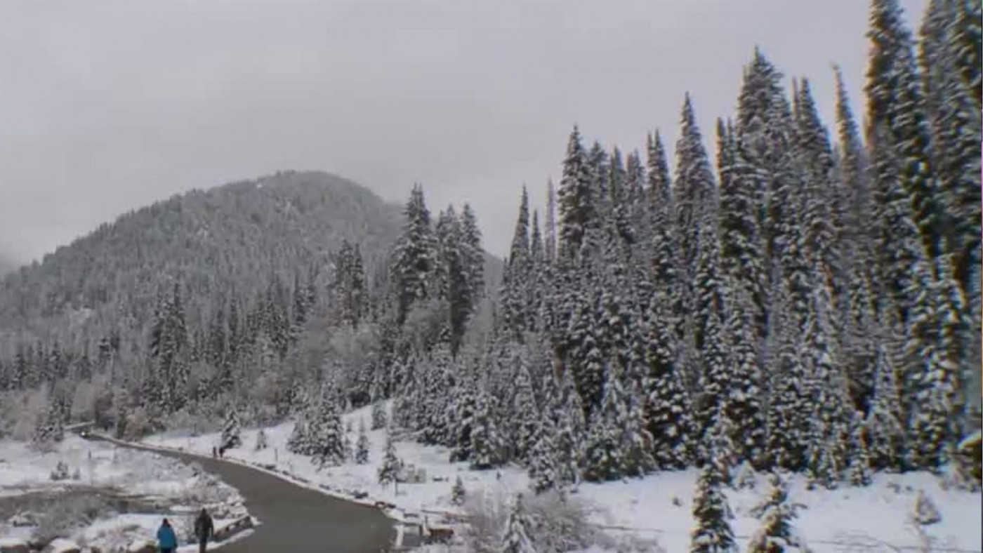
As an example, Davies spoke about Park City.
“Park City since 1975 has lost six weeks’ worth of days in which it could snow,” he said, meaning days where the temperature sinks below 32 degrees.
Davies says the solution is complex, but a big part is cutting fossil fuel use in half every decade for the next several.
“The good news is: We know what we need, we have the technology and scientific knowledge that we need, we have the resources that we need,” he said.